 Jun 9 2016
Old-Growth Maps
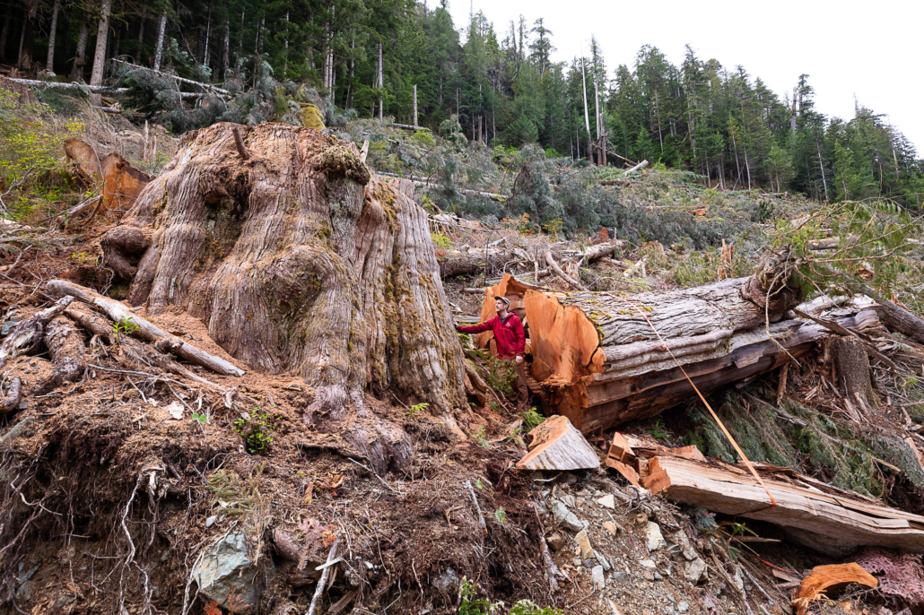
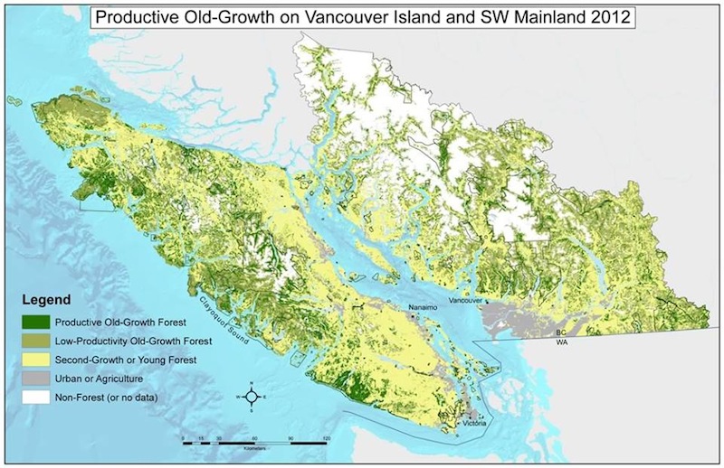
In our campaign to protect the old-growth forests of Vancouver Island and the Lower Mainland, there has been a huge amount of misleading PR stats thrown around by the logging companies and BC government in the media recently to make it sound like lots of old-growth forests remain and much has been protected – this is completely false. They are including vast tracts of stunted, low productivity bog and subalpine stands with low to no commercial value along with the productive stands, and also attach stats from the northern coast (ie. the Great Bear Rainforest, where much more old-growth remains and much more has been protected due to the concerted efforts of enviro-groups) to the southern coast (where very little has been protected, relatively little old-growth remains, and where the forests are much grander with different ecosystems). The fact is that 75% of the productive old-growth forests have been logged on the southern coast, including over 91% of the high productivity, valley bottom old-growth forests where the largest trees grow, while only 8% of the productive forests have been protected in parks and Old-Growth Management Areas. Take note too that of 5.5 million hectares of original old-growth forests on the southern coast, 2.2 million hectares are considered low productivity (ie. bogs, high altitude, steep rocky slopes with stunted trees, etc.) – and if you go to the northern rainforest, most of the landscape is low productivity old-growth forests (or alpine rock and ice). See the stats and the “before and after” maps here, based on BC government and satellite data:
https://staging.ancientforestalliance.org/ancient-forests/before-after-old-growth-maps/
